Development of the Bruny Radar
Visit the Following
Overview of Transmitter Hardware
Construction of Transmitter Hardware
Site Development and Opening Cemermony
TIGER Consortium
The Tasmanian component, located on Bruny Island, began operation in December 1999.
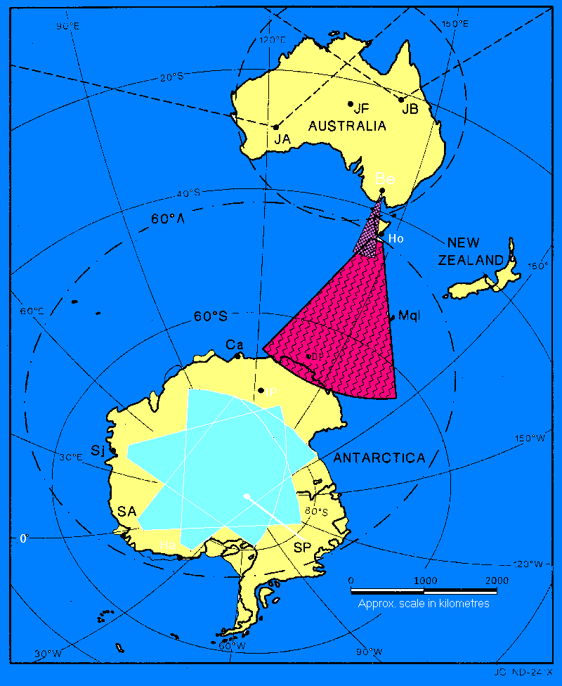
The Bruny Radar footprint covers the lower latitude portion of the auroral oval and the ionospheric trough.
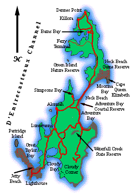
Location: Tasmania
Geodetic: -43.38° S, 147.23° E
Boresight: 180.0°
AACGM: -54.4° S, 226.7° W (Epoch 2005, 300km above the surface of the Earth)
Status: Normal Operations
24hr/day